

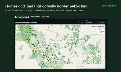
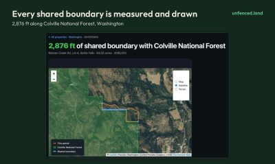
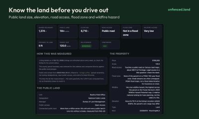
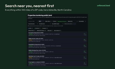
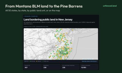
Unfenced checks roughly 700,000 U.S. property listings every week against official public-land maps. It then highlights the 13,600 or so homes and land parcels that actually touch national forest, BLM, or state land. Each property is measured from its county parcel boundary, so you can see the shared edge in feet drawn on a map, along with how much public land sits behind it, elevation, road access, flood zone, and wildfire hazard. You can search by ZIP code or state, and it is free with no account needed.
Launch Team / Built with
DC
Launch Date:
October 21, 2026